

Articulated Insight – News, Race and Culture in the Information Age
Overview: The United Nations General Assembly passed the “Correct the Map” resolution in a 164–1 vote, adopting an equal-area world map to replace the centuries-old Mercator projection in global education. The resolution, introduced by Togo and backed by the African Union, corrects systemic cartographic distortions that shrink equatorial landmasses—most notably Africa, which is 14 times larger than Greenland and large enough to fit the US, China, India, and much of Europe combined. The United States cast the sole opposing vote, labeling the measure a “radical ideological project,” spotlighting a clash between traditional Western mapmaking and accurate geopolitical representation.
Why the UN’s Landslide Vote to Ditch the Mercator Map Matters for Global Representation
Sometimes, changing a picture can change how we see the world.
That is why the United Nations General Assembly’s overwhelming vote to adopt a more geographically accurate world map is far more significant than it may seem. On September 4, the General Assembly approved the “Correct the Map” resolution, led by the Republic of Togo and supported by the African Union. The vote was 164 to 1, with six countries abstaining.
The only vote against it was cast by the United States.
The Flaw in the Mercator Projection
At issue is the familiar Mercator projection, the 16th century map that has shaped generations of classrooms and public perceptions.
Designed primarily for navigation, not for accurately depicting the relative sizes of continents, it distorts regions near the poles:
- It makes northern landmasses appear dramatically larger.
- It shrinks areas located near the equator.
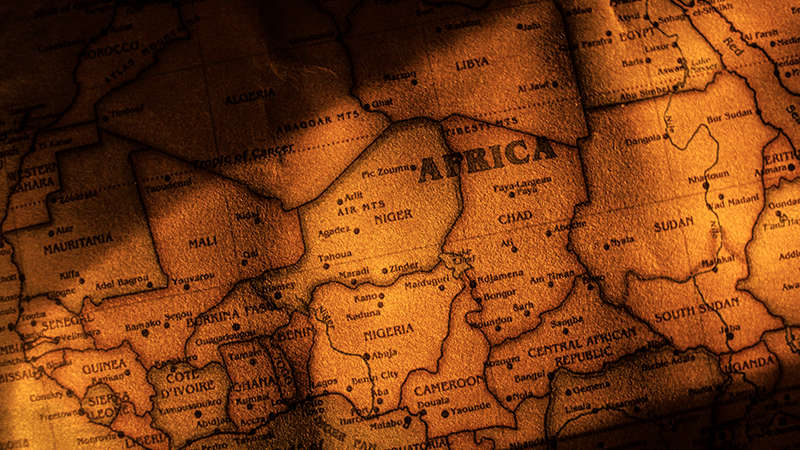
The result is especially striking for Africa. On traditional maps, Africa often appears roughly the same size as Greenland. In reality:
- Africa is about 14 times larger than Greenland.
- Africa covers roughly 30.3 million square kilometers.
- It is large enough to contain the United States, China, India, and much of Europe combined.
Why Visual Distortion Matters
That distortion matters. Africa is not a country, as it is still embarrassingly described by some politicians, journalists, and commentators. It is the second largest continent on Earth, after Asia, defined by extraordinary scale:
- 54 sovereign nations
- Over 1.4 billion people
- Remarkable cultural diversity
- Vast natural resources and enormous economic potential
For centuries, the world has been taught to see Africa as smaller, both literally and figuratively, than it actually is. The map became part of the mental framework through which generations understood global geography, power, and importance.
Yes, this is about a map, but it is also about representation. It is about correcting an image that has reinforced a worldview where Europe and other parts of the Global North appear disproportionately dominant, while equatorial regions are visually diminished.
America’s Lone Dissent
Then there is the vote cast by the United States.
The U.S. called the resolution a “radical ideological project,” arguing that it distracted attention from more pressing global problems. That position deserves scrutiny.
There is nothing radical about accuracy. Teaching children the actual size of a continent is not ideological. And there is certainly nothing frivolous about challenging representations that have shaped how billions of people understand the world.
Accuracy in Education
No flat map can perfectly represent a three dimensional globe. Different projections serve different purposes, and the Mercator projection still has utility for nautical navigation. But when the purpose is education and understanding, why not show the world as it truly is?
Africa does not need the United Nations to make it larger. It already is.
What is long overdue is ensuring the rest of the world finally sees it that way.
#SeeAfricaClearly #TrueSizeOfAfrica #Geopolitics